RT-600 Light
Lightweight Multi-Band Direction Finder System for Airborne SAR
Key Facts:
- DF sensor designed for search-and-rescue and public safety
- Version “A” for SAR | Version “L” for SAR + Law Enforcement
- Tracking of ELT, PLB, EPIRB, LoJack™, ETS™, COSPAS-SARSAT™, medical, and V/UHF AM/FM transmitters
- Decoding of COSPAS-SARSAT™ and LoJack™ messages
- Wide frequency range from 118 to 470 MHz
- Automatic 360° Doppler DF with ±5° rms bearing accuracy
- Easy Integration via RS-485, no RF cables required
The RT-600 Light (RT-600-LT) is a lightweight version of the RT-600, specifically designed for drones. It is a SAR direction finder system for airborne SAR that operates on all frequency bands used for rescue missions, including emergency frequencies 121.500 MHz, 243.000 MHz and 406.028 MHz (Cospas-Sarsat) as well as channel 16 of the marine band. Emergency beacons that operate on the Cospas-Sarsat frequency 406.028 MHz can be identified and localized. All of the electronic direction finding components are integrated into the antenna. The display and control unit can be a an Apple-based tablet running smartDF Android-based tablet running DF Scout, or PC running DF Commander. The display and control unit permits convenient viewing of localization and Cospas-Sarsat information, as well as remote system configuration.
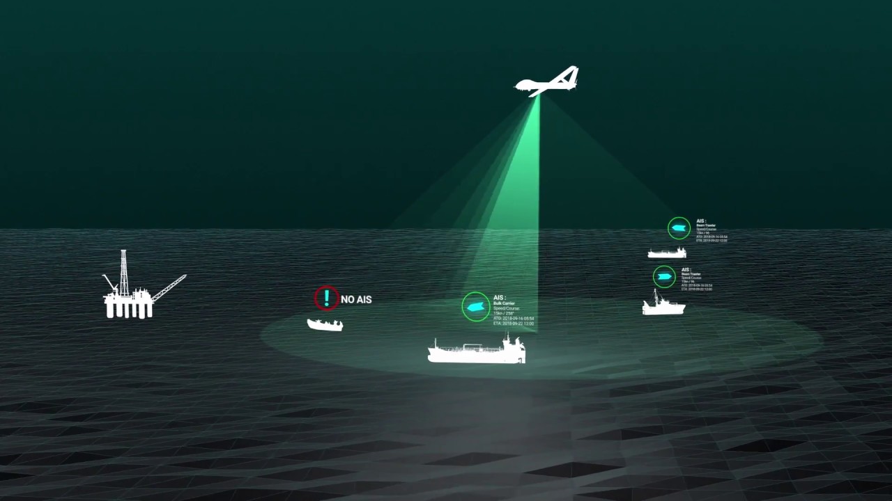
Drones are quickly becoming a mission-critical platform for advanced radio direction finding and location of radio targets. Their ability to climb makes it an affordable replacement of a manned aircraft or a tower in order to increase the radio horizon – line of sight – of the radio direction finder & location (RDFL) system, significantly increasing its range to detect, demodulate, decode, locate, rescue and recover targets – personnel and/or assets – from a considerable distance, like an Emergency Locator Transmitter (ELT) at a crashed aircraft site, or a Personal Locator Beacon (PLB) worn by a lost hiker. On the other hand their ability to fly at low altitudes enables the RDFL to track and find low-power medical beacons worn by individuals with Alzheimer or Autism with the potential to wander off.


System Variant | Description | Advantages | Limitations |
|---|---|---|---|
Fully Automatic Flight System |
| • Very simple operation
| • Only predefined flight routes are possible |
Manually Controlled Flight System |
| • High operation range
| • Sufficient energy capacity for adequate flight time
|
Continuous Operation |
| • Continuous operation is possible
| • Triangulation is not possible
|